Remote Sensing of Watershed
Published in MDPI, 2023
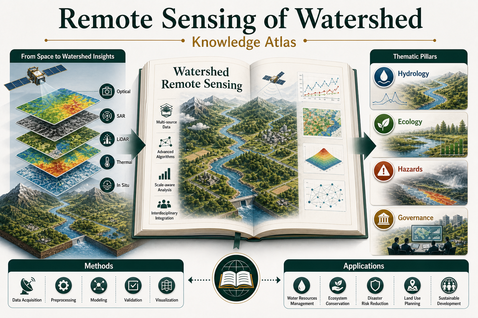
Core contribution: This edited volume positions watershed remote sensing as an integrated knowledge field connecting methods, environmental systems, and governance applications. It brings hydrology, ecology, hazards, and watershed management into a shared remote-sensing framework.
Highlights
- Organizes watershed remote sensing as a knowledge atlas rather than a single-method toolkit.
- Connects data acquisition, preprocessing, modeling, validation, and visualization with applied watershed questions.
- Bridges hydrology, ecology, hazards, and governance-oriented applications.
- Supports a broader research agenda for integrated nature-human watershed systems.
核心贡献: 本书将流域遥感定位为连接方法、环境系统与治理应用的综合知识领域。它把水文、生态、灾害和流域管理纳入同一个遥感研究框架,呈现流域研究从技术观测走向综合应用的知识体系。
核心亮点
- 将流域遥感组织为知识图谱,而不只是单一技术工具箱。
- 把数据获取、预处理、建模、验证和可视化与流域应用问题联系起来。
- 连接水文、生态、灾害与治理导向的应用领域。
- 支撑面向自然-人类耦合流域系统的综合研究议程。